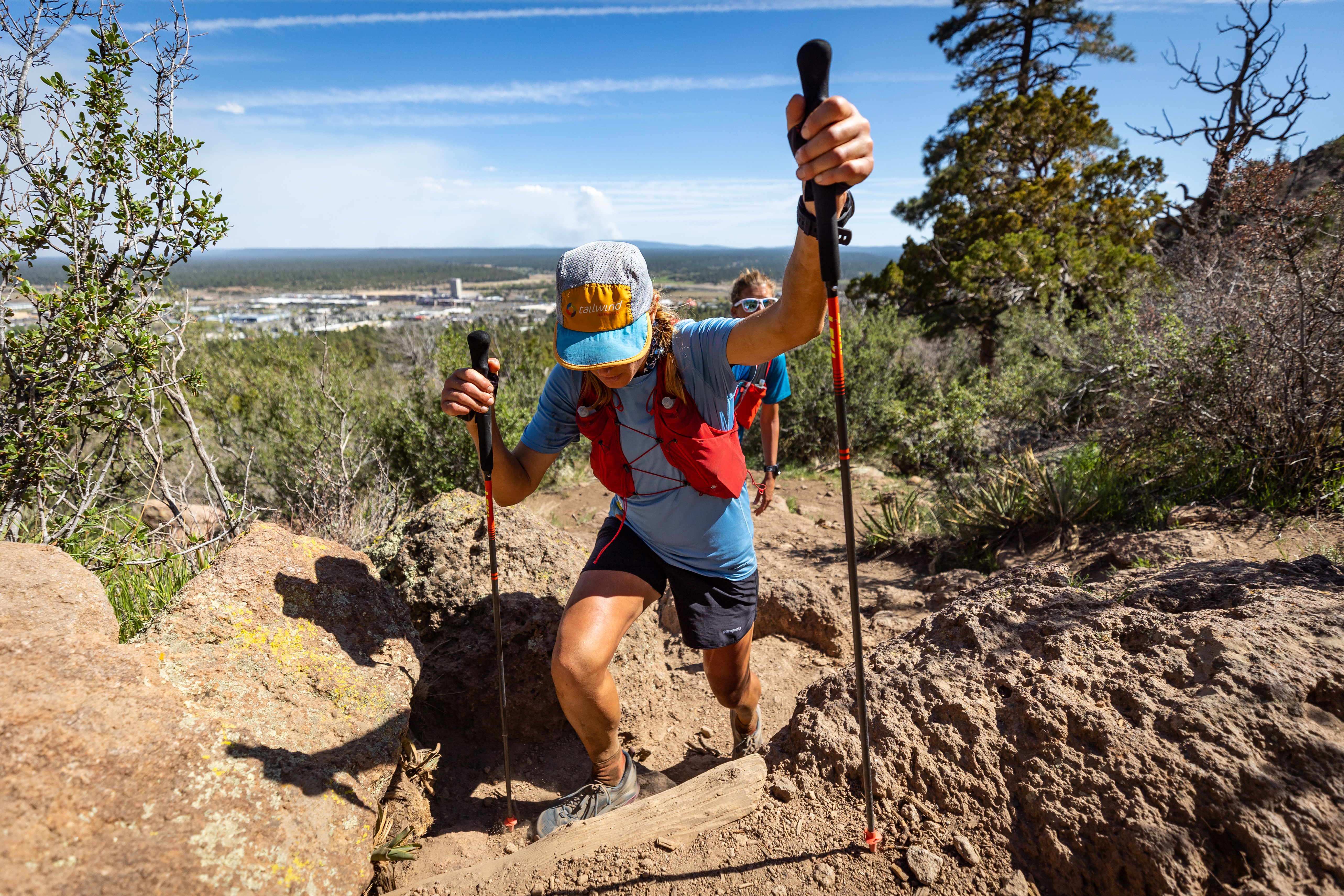
Elden Crest 38 Course Overview
Distance: 38.65 Miles
Cutoff: 27 Hours
Surface Distribution
Single-Track: 65% Double-Track: 26% Pavement: 9%
Elevation Max: 7,491′
Elevation Min: 6,633′
Estimated Cumulative Gain: 3,964′
Estimated Cumulative Loss: 3,873′
World Class Trail Systems: Arizona Trail, Flagstaff Loop Trail

Course Map
Elevation Profile
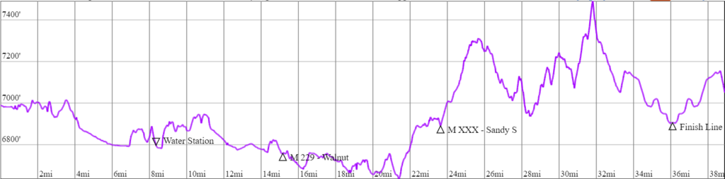
Estimated cumulative loss = 3,873′
Section Descriptions
Interested in learning even more about the course. Visit our ABOUT THE COURSE page.
GPS Enabled Device (Mandatory)
During the race, it is MANDATORY to carry a gps enabled device with the course file downloaded. This device can be a handheld GPS unit, watch, or smartphone. The smartphone is the easiest and least expensive option. To use a smartphone, install a mapping App such as Gaia, GuruMapsPro, TrailForks, or AllTrails to your phone. Then download the course GPX file from CalTopo (Elden Crest 38 Course) and open the file in the mapping App. The course will appear, as well as your location (blue dot). Badabing Badaboom. Protip – Place your phone in airplane mode to maximize battery life.
Any other question? Feel free to email the Race Director.
Happy Running!