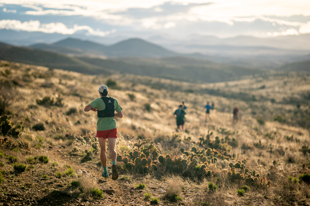
The Cocodona Trail is a curated route through central Arizona linking historic towns and trails off the beaten path. The rich history of the towns linked up through little traveled ranges makes this a one-of-a-kind tour of Arizona.
From the beauty of the Sonoran desert, through canyons and pine forests this is a magical route. The accomplishment of traveling the Cocodona Trail on foot will be one of the most life changing and epic journeys of an endurance athletes career. We envision this as a once in a lifetime experience and the pinnacle endurance challenge in North America.
Vision
The experience of a lifetime running 250 miles across the most scenic lands in Central and Northern Arizona connecting together multiple geographic zones, towns and communities highlighting the best of what Arizona has to offer.
This point to point 250ish mile foot race will link together the towns of Black Canyon City, Crown King, Prescott, Jerome, Clarkdale, Cottonwood, Sedona and Flagstaff in what can only be described as a life changing test of endurance.
This route will celebrate not only some of the best trail locations in Arizona, but also its people, history and landscapes.

COURSE DESCRIPTIONS – Detailed section by section descriptions HERE (This is only the Cocodona250 course. It does not include the ’24 Sedona Canyons 125 or Elden Crest 38 course changes)
.
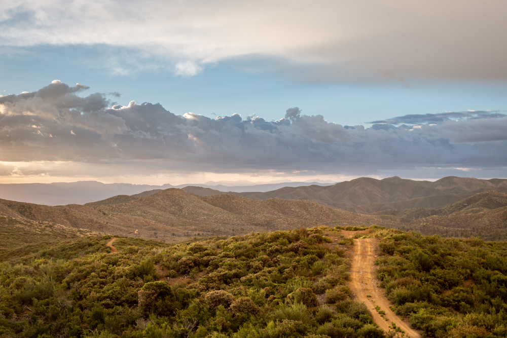
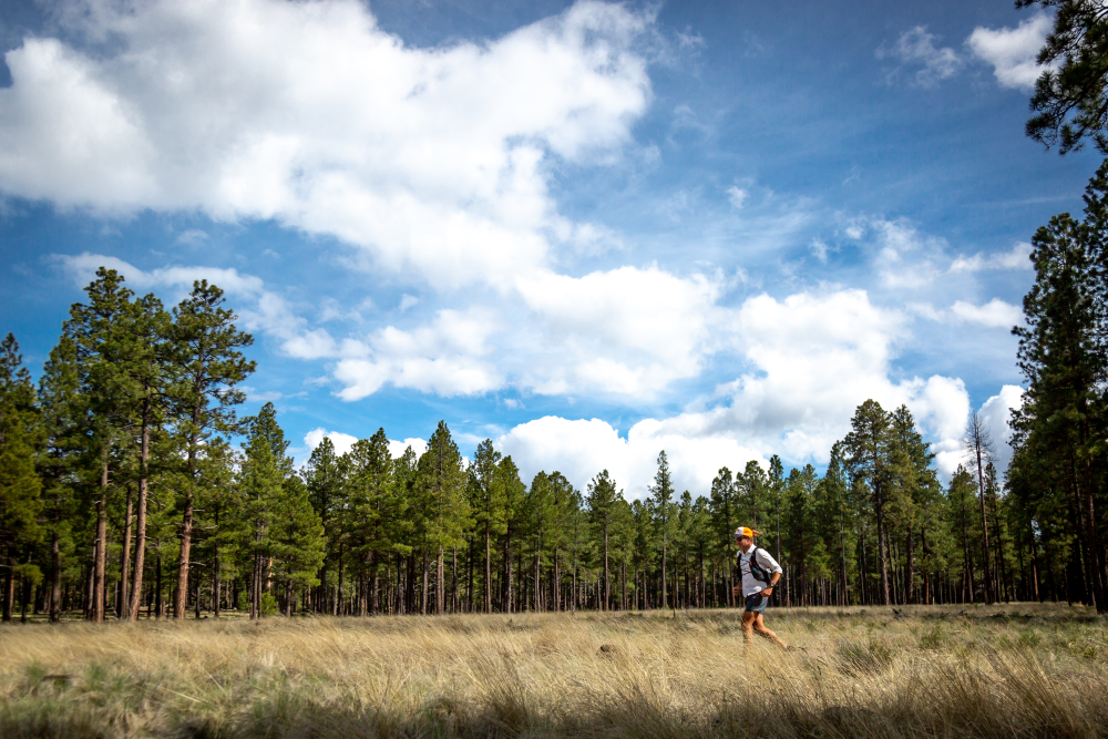
Black Canyon Trail
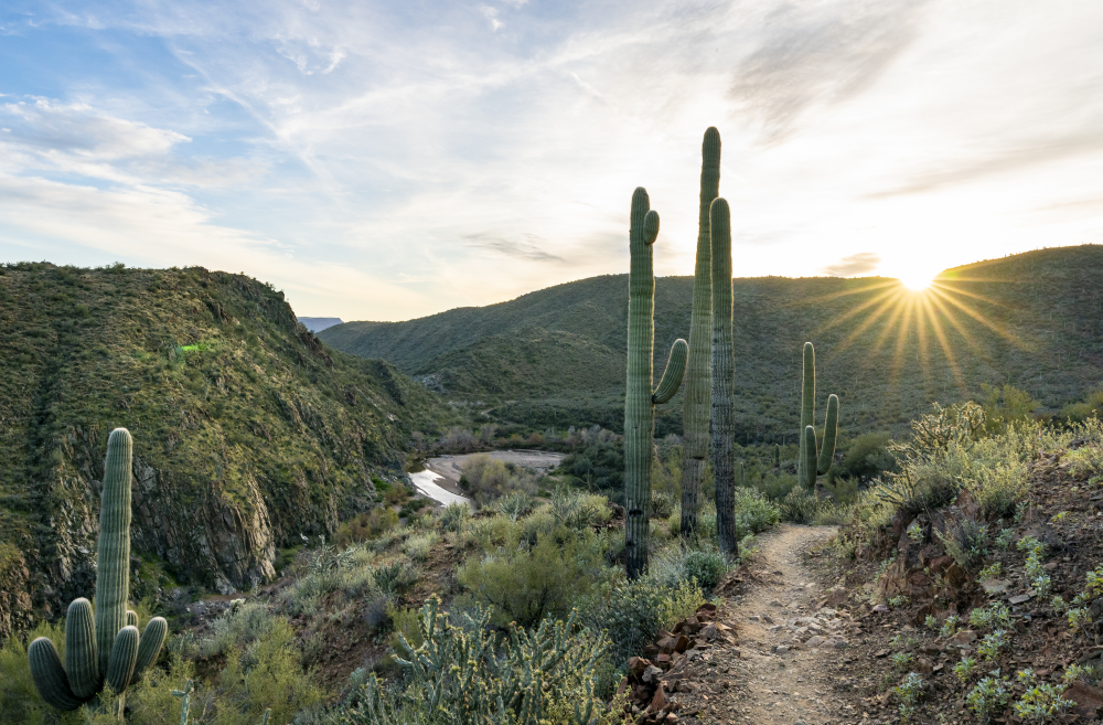
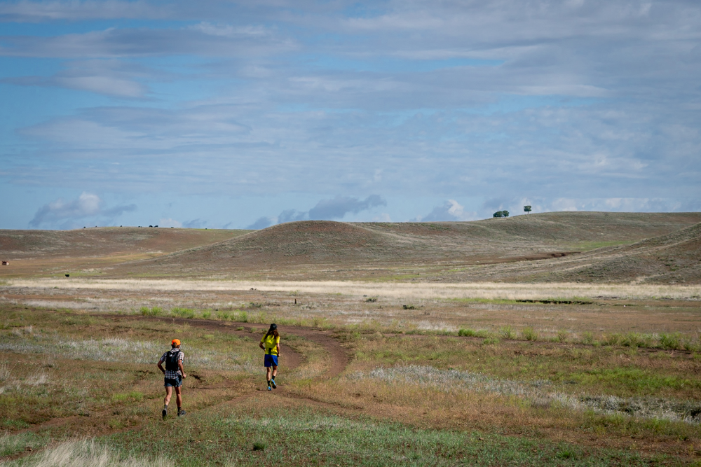
The run begins at Deep Canyon Ranch in Black Canyon City, the gateway to the Black Canyon National Recreation Trail. Already known nationwide for its incredible trail running opportunities, the Cocodona 250 will start on the Black Canyon Trail with winding single track through the Sonoran deserts among Saguaro Cactus and Ocotillos. The Black Canyon Trail climbs up and then descends down to the base of the Bradshaw Mountain foothills.
Bradshaw Foothills
After leaving the Black Canyon Trail near mile 8, the course takes a series of mining roads and jeep trails to climb towards the Bradshaw Mountains. This section of double-track can get pretty steep, rugged, and hot. Near mile 30, a sharp right puts the course on the Lane Mnt Trail, a steep but worthwhile climb as scenery transitions from Sonoran desert to Ponderosa Pine and views open up to endless ridelines, valleys, and Lake Pleasant in the distance. Once in the pines, temps will cool down and it’s only 5 more miles of rolling double-track into Crown King.
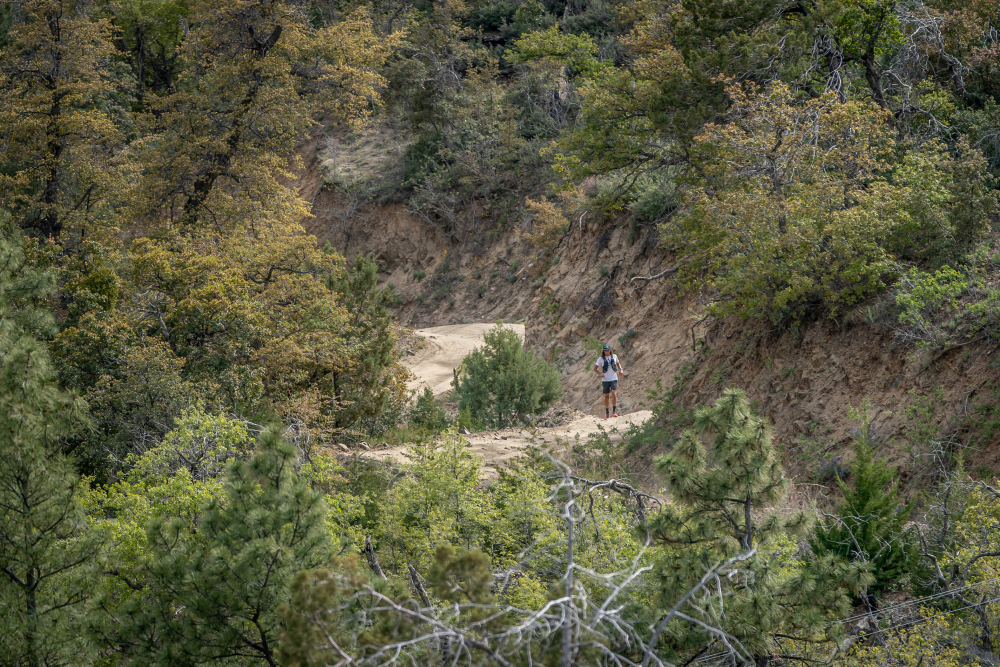
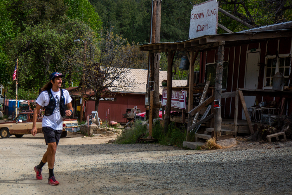
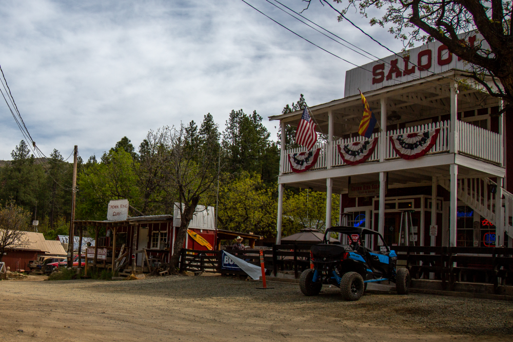
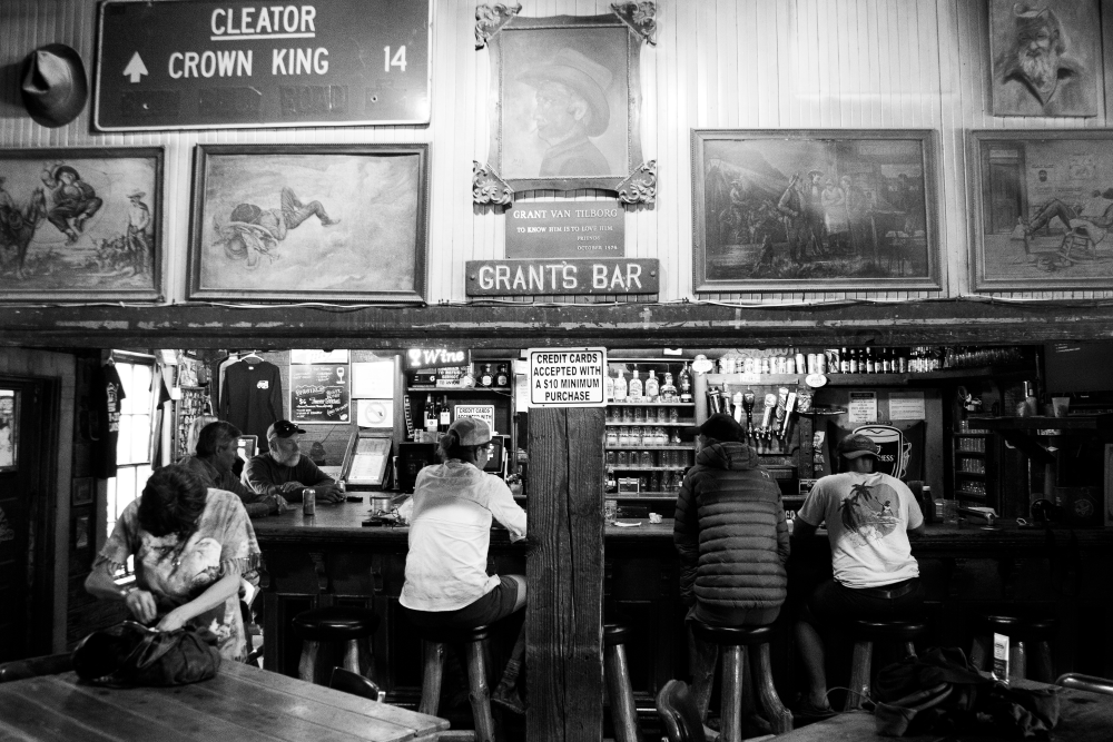
Crown King
The first crew access aid station will be 37 miles in, at the historic Crown King Saloon. This is the oldest continuously operated Saloon in Arizona and is located in the old mining town of Crown King. The cooler temperatures among the pines will be a welcome relief from the warming desert below.
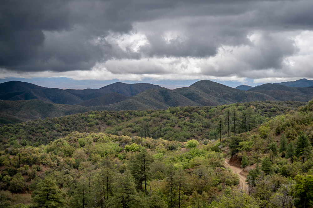
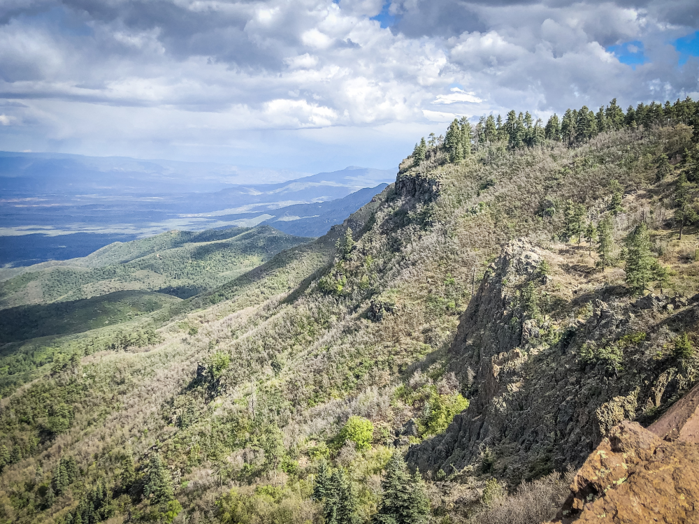
Bradshaw Mountains
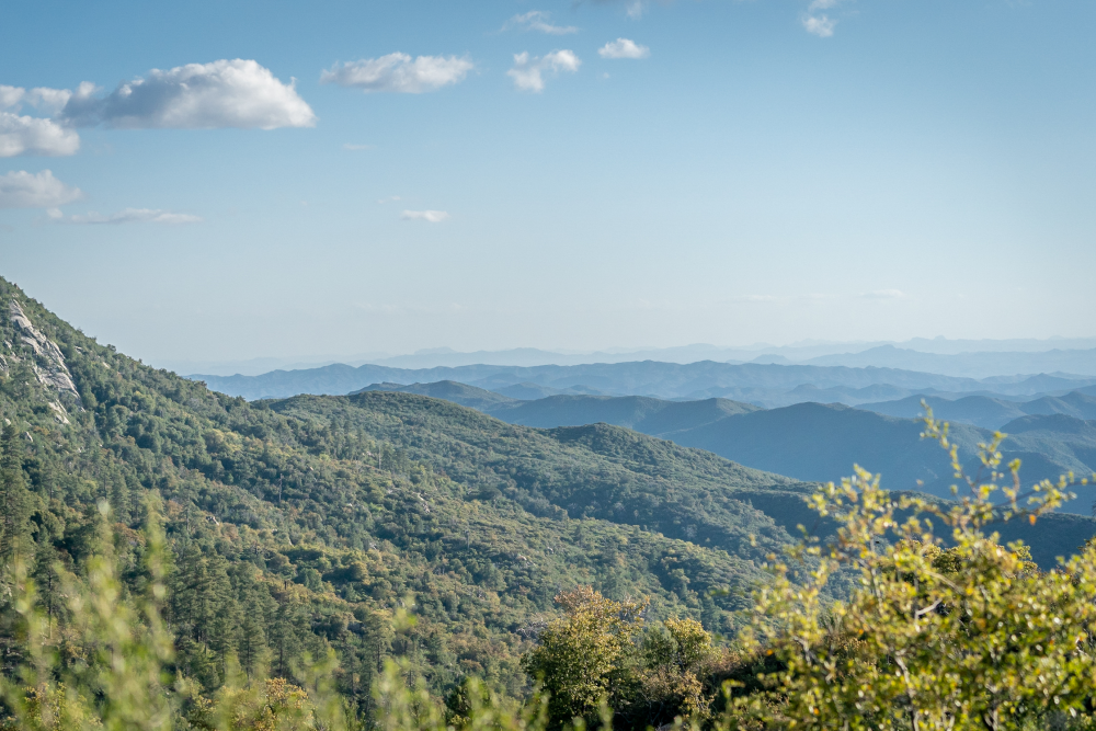
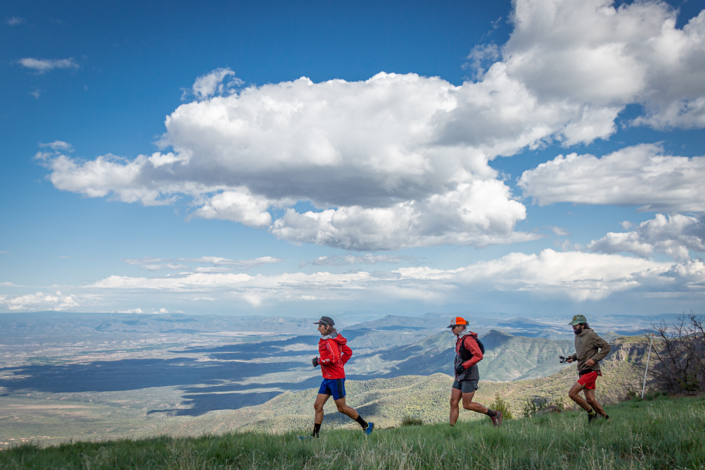
Cocodona is the only trail ultra-marathon to traverse the entire Bradshaw Mountain range which parallels the Black Canyon Trail and leads north from Phoenix to Prescott. This diverse mountain range was settled by the Yavapai people beginning in the 1100’s and later mined for gold, silver and copper in the early 1900’s. From Crown King, runners have a slow and steady 4 mile climb toward Tower Mnt before getting far off of the beaten path. Runners will be treated to ridgeline views of the whole range, Aspens and Firs, creek crossings, and some beautiful single-track. As you hit some of the highest points in the Bradshaws, including Mount Union, this area offers the first views of San Francisco Mountain above Flagstaff…it feels a long way off. Mile 70 brings runners to the first Major Aid Station at Camp Wamatochick. From here the course hits the buffed out Goldwater Lakes trails to cruise down to Prescott.
Prescott
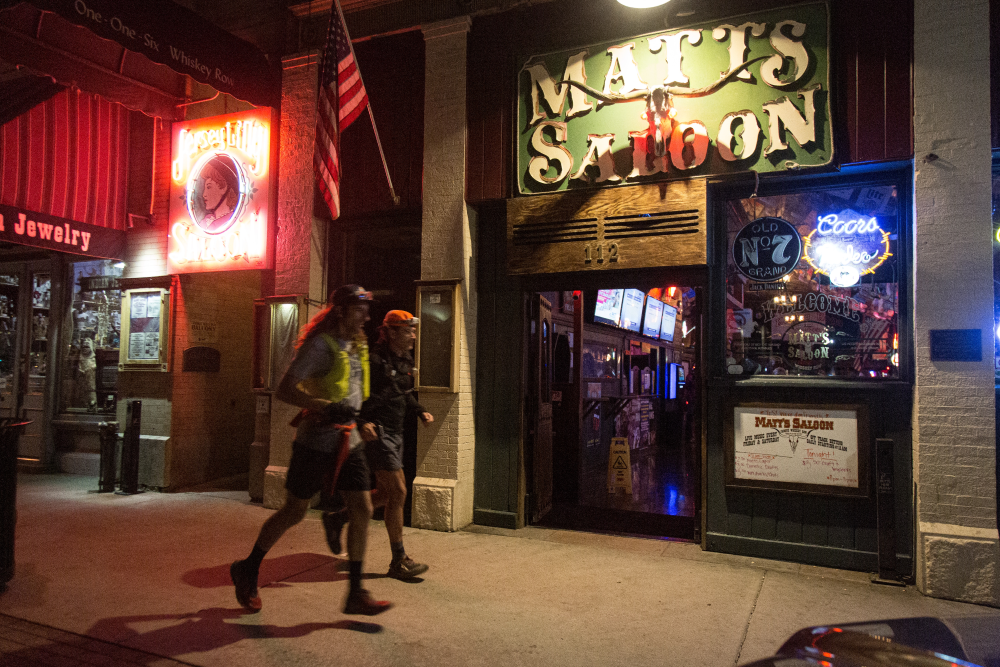
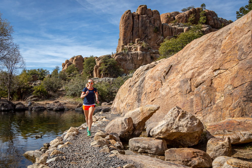
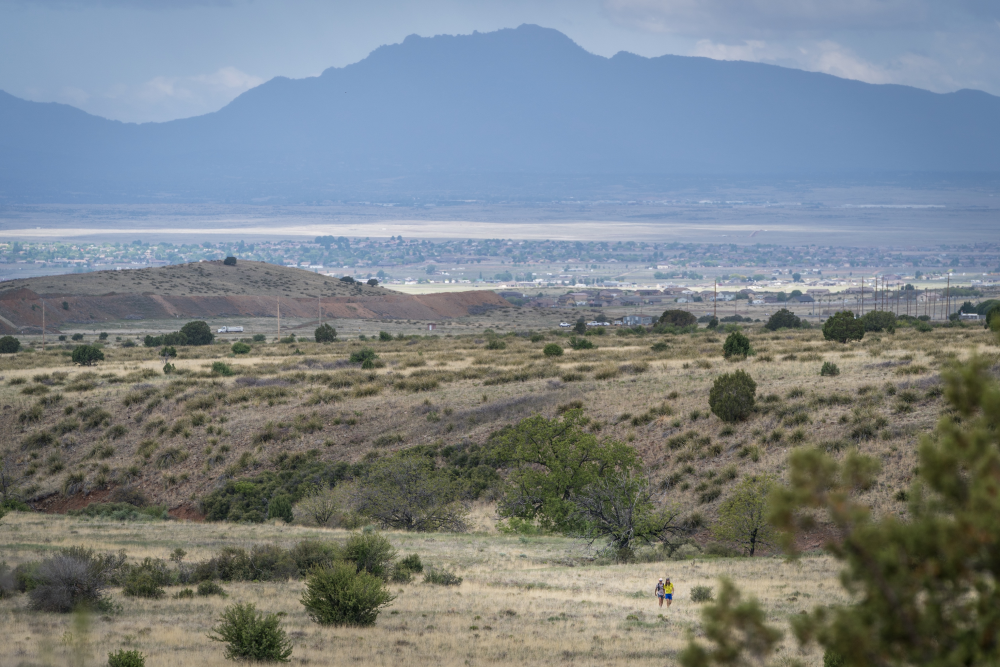
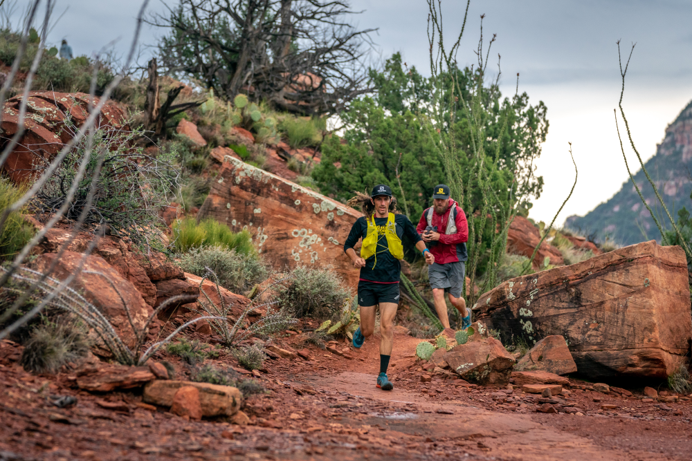
Descending from the Bradshaws and on route to Mingus Mountain, the route crosses the Prescott Valley, an extremely diverse landscape containing Ponderosa pine forests, desert grasslands, lakes, and the unique Granite Dell rock formations. But first, runners will head directly into downtown Prescott and a Major Aid Station on the infamous Whiskey Row, also the first place runners can pick up pacers. This was the first capital of the Arizona Territory dating back to 1864 and the epicenter of Arizona mining history, not to mention a great place for a shot of whiskey. After a few miles of pavement to stretch the legs, the course skirts Watson Lake and navigates the rocks of Granite Dells before hopping onto the Iron King Trail at mile 85.
Fain Ranch
Leaving Prescott, runners will cross through some high desert grasslands, Prescott Valley and the Fain Cattle Ranch lands on their way to Mingus Mountain. Antelope herds are frequently seen bounding across this vast ranchland. Runners will celebrate the 100 mile mark with a fist pump just after leaving the Fain Ranch Aid Station.
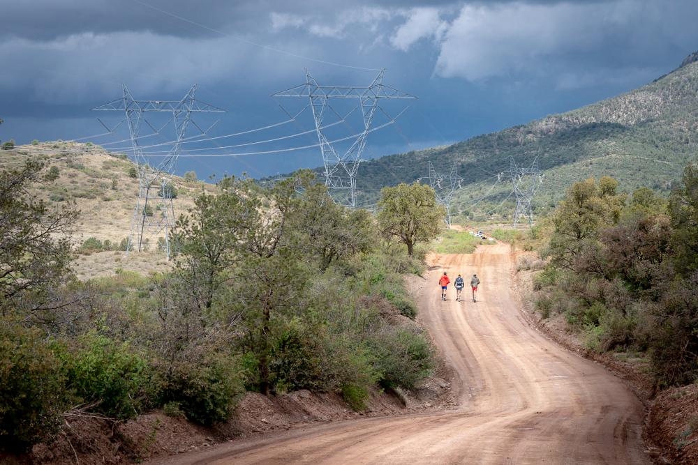
Black Hills
Stretching diagonally across Central Arizona, the Black Hills rise up to almost 8000 feet and separate the Prescott Valley from the Verde Valley. Runners will climb single-track switchbacks up, up, up, and over the range to the top of Mingus Mountain. The views from the top of Mingus, across the Verde Valley to the red rock walls of Sedona and the peaks of Flagstaff beyond are some of the most spectacular of the course. Fill your lungs with the view and then get ready for a technical decent on the North Mingus trail, eventually dropping you into the old mining town of Jerome.
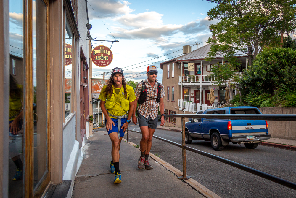
Jerome
A historic Town based upon mining, it is now an artists enclave and tourist stop. Runners will tour directly through the old town perched on the north side of the Black Hills at an elevation of 5,000 feet with sweeping views to the Northern parts of the course.
Verde Valley / Arizona Wine Country
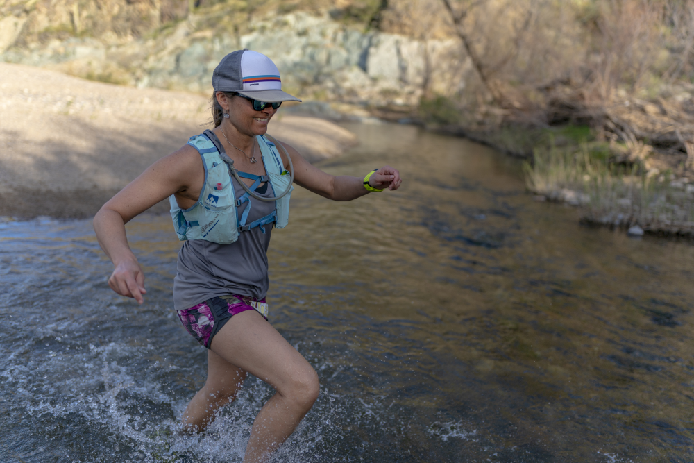
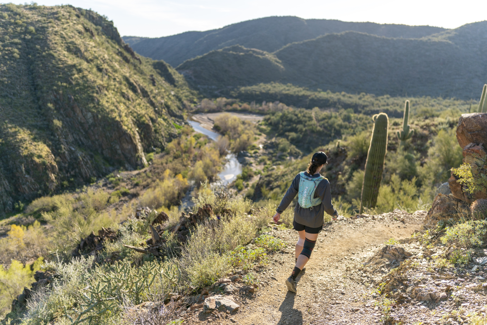
Through one of the only wine producing regions in Arizona, runners will hit the Clarkdale main square on their way to the Verde River. Wading across the cool Verde River at the midpoint of the course will be a great way to refresh the legs before a 40+ mile stretch of world-class single-track. This stretch starts with Tuzigoot National Monument and then hits the Aid Station in Dead Horse Ranch State Park before heading up the Lime Kiln Trail. Views go from great to amazing to bonkers as each crest feeds you more of the red rock vistas to come in Sedona.
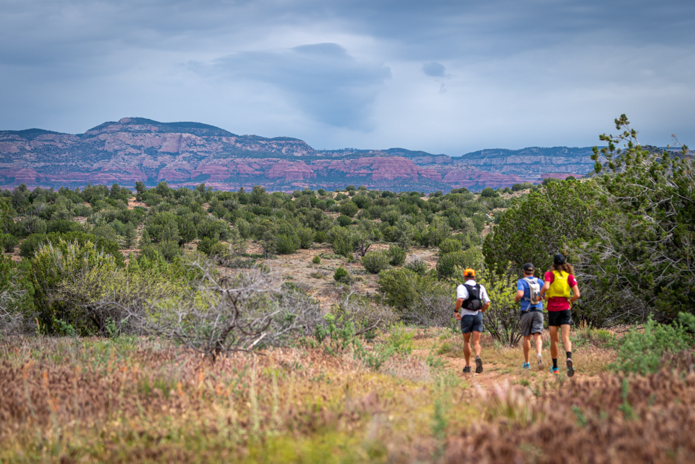
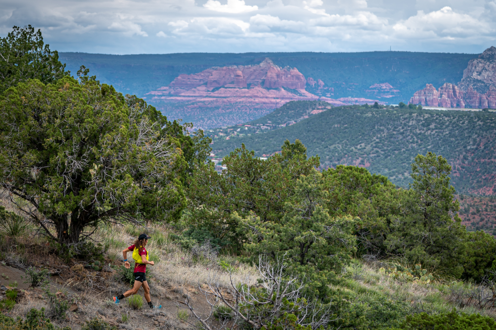
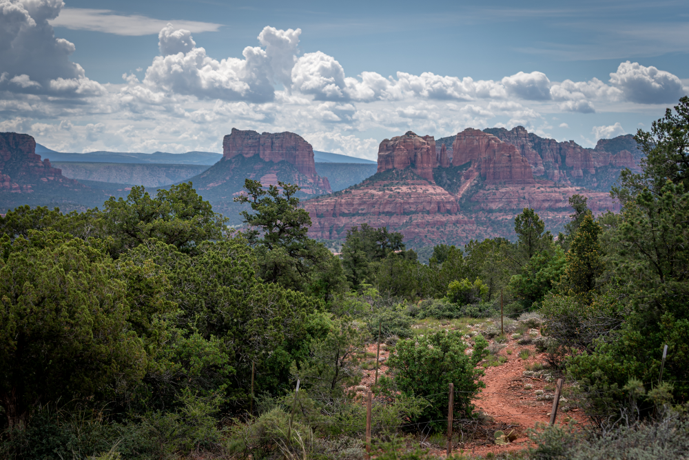
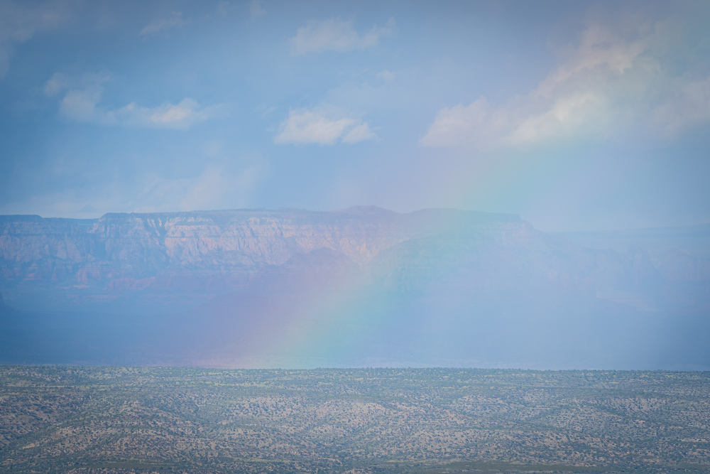
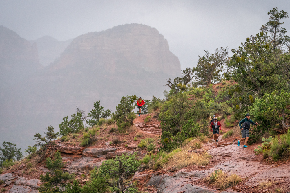
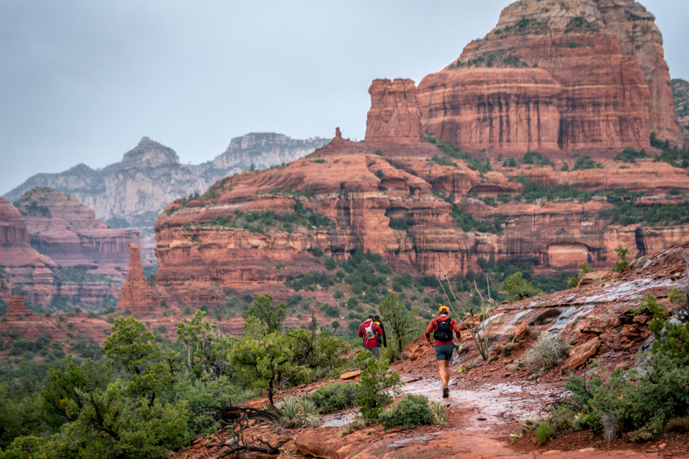
Sedona
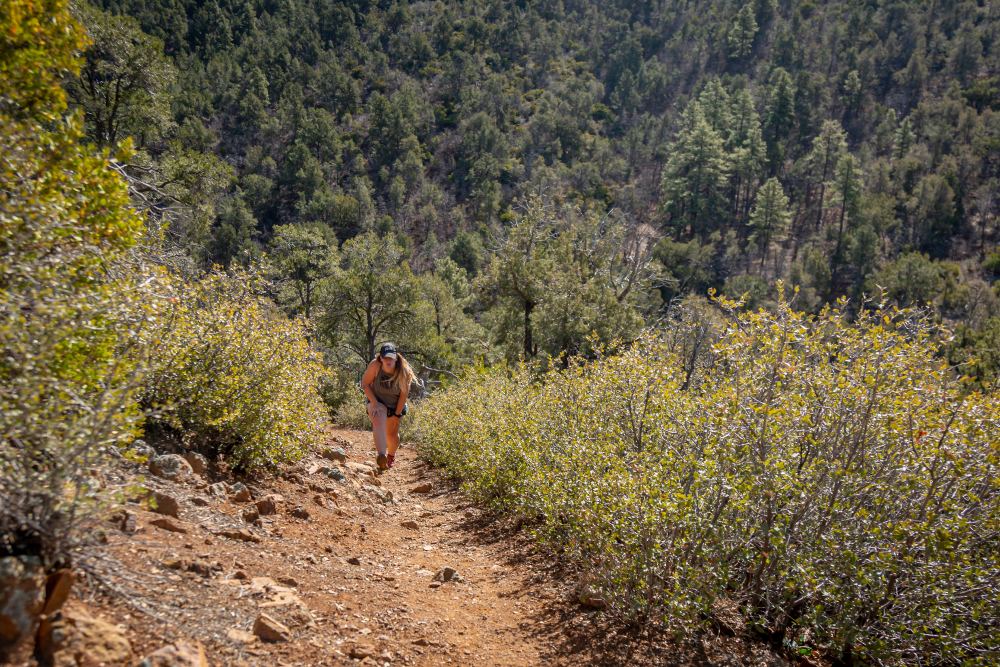
Red rock country and one of the most iconic landscapes in the United States, Sedona’s beauty is beyond description. Runners will have plenty of time to soak up the views from every vantage point in the valley as the course traverses the entire valley under the big red walls and through the heart of the town. At the end of this magical loop, the course leaves the valley and starts a massive climb up the Casner Canyon Trail. Once on top of the plateau, the route looks back on the beauty below in the Sedona valley. No doubt, a tear will be shed for the burning quads, whipping wind, and/or sheer beauty of the drop-off to either side.
Coconino National Forest
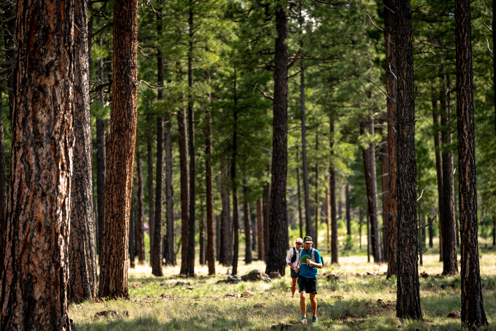
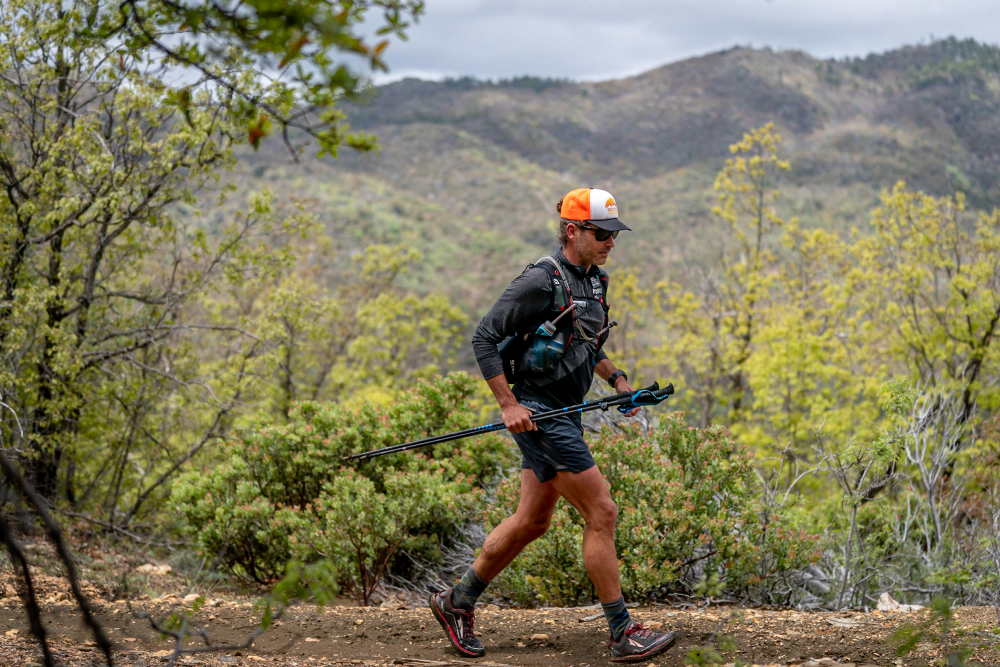
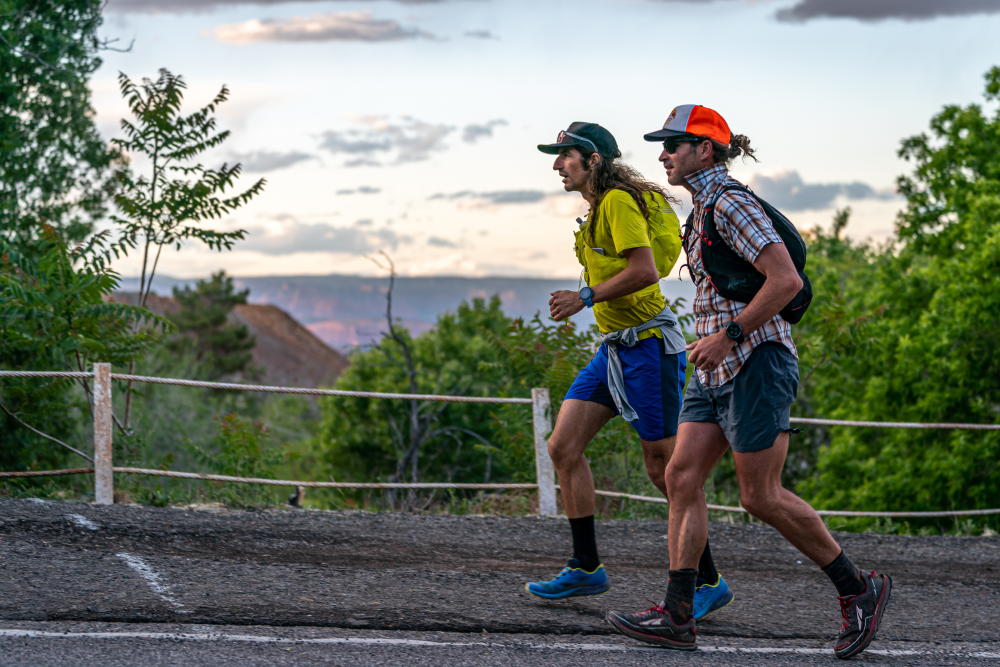
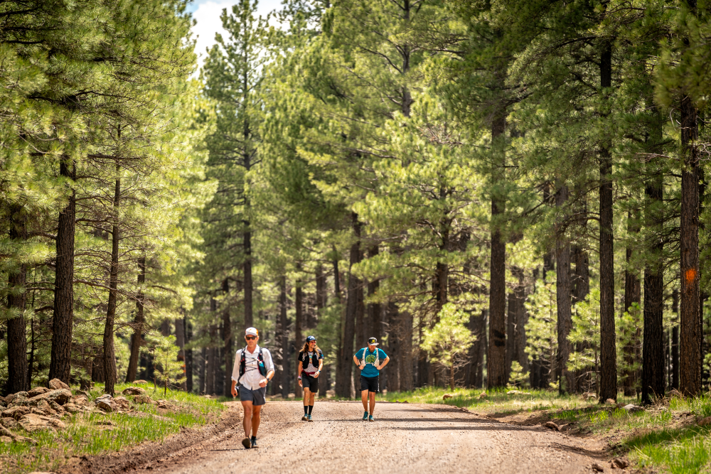
Once up on the Coconino Plateau, runners will enter the largest contiguous Ponderosa Pine forest in the world on their way towards Flagstaff. Taking a series of forest roads and single-track, they will pass the 200 mile mark on their way towards Fort Tuthill County Park. Watch for heards of elk in this section.

Arizona Trail
The Arizona Trail spans 800 miles South to North across the entire state from Mexico to Utah. The Cocodona250 joins the Arizona Trail for 11 miles near Fisher Point in Walnut Canyon. The trail first runs down the middle of the canyon, a ribbon of perfect single-track, before climbing to the north ridge of the canyon. As the views down into the canyon give way to Campbell Mesa, San Francisco Peak and Elden loom above.
Mount Elden
The final climb of the course is a doozy and it will also bring runners to the highest point on the entire race. The Elden Summit Trail climbs to just over 9000 feet above Flagstaff and a fire lookout tower that helps monitor for fires in the summer months. After the summit, get ready for a quad pounder, as the trail drops nearly 2,000′ in 1.5 miles. If your legs were not already destroyed…wait, nevermind…everything is destroyed at this point. Your legs will be destroyed-er. After that brutal decent you’ve got 4 miles of gentle crushed granite bike path and another 1.5 miles of sidewalk into the finish. And you are done…literally.
Flagstaff
Flagstaff is located at 7000 feet elevation in Northern Arizona and is a mecca for distance runners the world over. The race will finish in Downtown Flagstaff where we will greet you and celebrate your life changing accomplishment.
Organization
Aravaipa Running

About Us
We have been organizing trail and endurance running events for more than a decade and participating in ultra-distance events for even longer. Aravaipa Running is one of the most well-respected event promoters in the trail space.
Aravaipa Running was founded in 2009 and works out of our Phoenix based office with approximately 20 full time staff and another 30 part time staff members. Learn more here
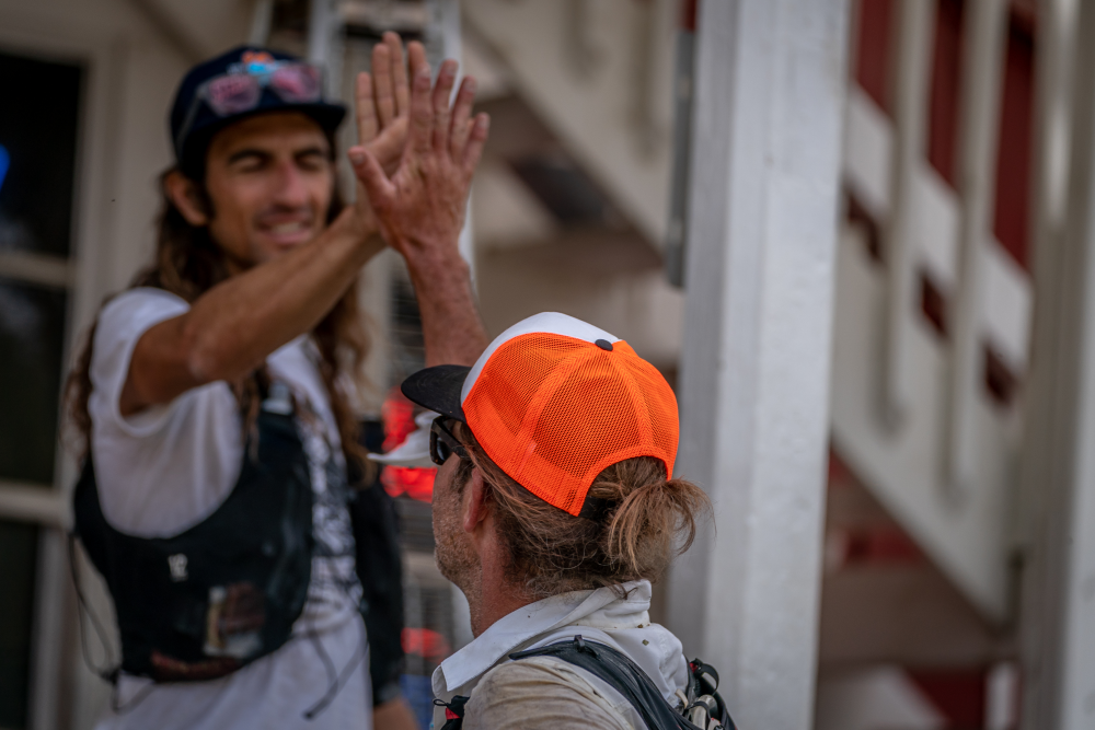
THANK YOU
Thank you for your interest in Cocodona 250. This race is incredibly meaningful to myself and those at Aravaipa Running who have dreamed about a race of this magnitude for a while. It isn’t so much about the distance as it is about linking communities and people while exploring some of the best Arizona has to offer.
– Jamil Coury, Aravaipa Running Owner